
First in the nation
Your public works department already has a backlog of existing reports: complaints from residents, internal inspections, tickets that take weeks to verify. Aerbits provides daily aerial ground truth to validate, correct, and close the information gap. No overwhelming crews with more sources of reporting. Just current condition photo evidence for every open work order, updated daily. No license plate readers. No facial recognition. No law enforcement.
Rollout Process
We don't add to your work order system. We validate what's already there, correct what's wrong, and keep ground truth current so crews always know what's real.
Most cities have work orders that crews already cleaned but never closed. Aerbits aerial surveys identify these with current photo evidence, so they can be closed definitively. No more stale tickets inflating the backlog or wasting lookup time.
Not every open ticket reflects current conditions. Some describe sites that have shifted or been cleaned by other crews. Others were entered with wrong locations, wrong severity, or wrong material type. Current aerial photos correct every inaccuracy.
Once the existing queue is accurate, we identify unreported dumpsites that the complaint system missed entirely. These get opened as verified work orders with GPS coordinates, size estimates, and photo evidence. No duplicates. No guesswork.
After the initial cleanup, daily aerial surveys keep every work order current. New dumping gets detected and reported within 24 hours. Cleaned sites get closed automatically. The system always reflects reality, not stale history.
The Problem
Every city has a backlog of work orders, but nobody knows which ones are still active, which have already been cleaned, and which were false reports. Crews spend more time verifying than cleaning. Aerial ground truth closes the gap without adding to the pile.
The Evidence Gap
When a resident reports illegal dumping, they expect closure: a notification that the city addressed it. But crews often can't provide that proof, because many work orders arrive without enough information to verify the current condition. Is it still there? Was it already cleaned by a different crew? Did someone else already submit a photo two weeks ago?
The reporting system itself is uneven. Some dumpsites generate dozens of 311 complaints from frustrated neighbors, others receive none. Not because the dumping isn't there, but because residents in that area have stopped reporting. This creates a systematic blind spot: high report areas get attention, while equally impacted neighborhoods fall off the map entirely.
The result is a crisis of confidence in both directions. Residents who report feel ignored when they never hear back. Residents who live near unreported dumpsites feel disenfranchised. A visible problem persists day after day with no acknowledgment. Public works crews feel the grind of a system where closing a work order feels arbitrary and unverifiable. It disheartens everyone involved.
Method
Daily aerial ground truth updates every work order with current condition photo evidence. Crews get cleanup lists with verified information. No guesswork, no wasted trips.
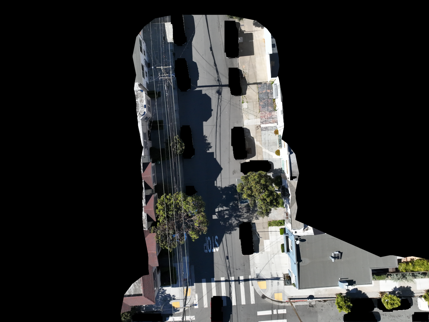
Enterprise drones equipped with high resolution cameras fly systematic routes covering your entire city: every neighborhood, every street. Daily coverage ensures nothing goes unnoticed.
Custom trained deep learning model identifies illegal dumping materials: mattresses, furniture, tires, appliances, construction debris, and bulk waste.
Precise GPS coordinates, photo documentation, severity scoring, and change detection for every site. Know exactly where, how big, and whether sites are growing.
Aerial photos are matched to every open work order in the survey area. Active sites get current condition photos and updated status. Clean sites get closure evidence. False reports get identified with photo proof. No manual verification needed.
Subsequent flights provide photo proof that sites have been cleaned or were false reports. Close backlogged work orders with definitive evidence. No field verification needed.
Identify hotspots, track patterns over time, and optimize crew deployment. Data driven resource allocation based on actual need, not just complaint volume.
Scale
Systematic drone routes scale to any city size. Coverage is determined by geography, not contract scope. Every square mile gets the same daily attention, whether you start with one block or the whole city.
Daily
Systematic flight routes cover every sector of the city on a daily rotation. Coverage is the default, not an exception.
31 days. Every zone, every day. Coverage doesn't skip days or neighborhoods.
Coverage
Systematic aerial routes cover your entire city: every neighborhood, every street. In a single flight, one square mile of backlogged work orders is verified with timestamped photo proof. Crews get the real picture, not the complaint picture.
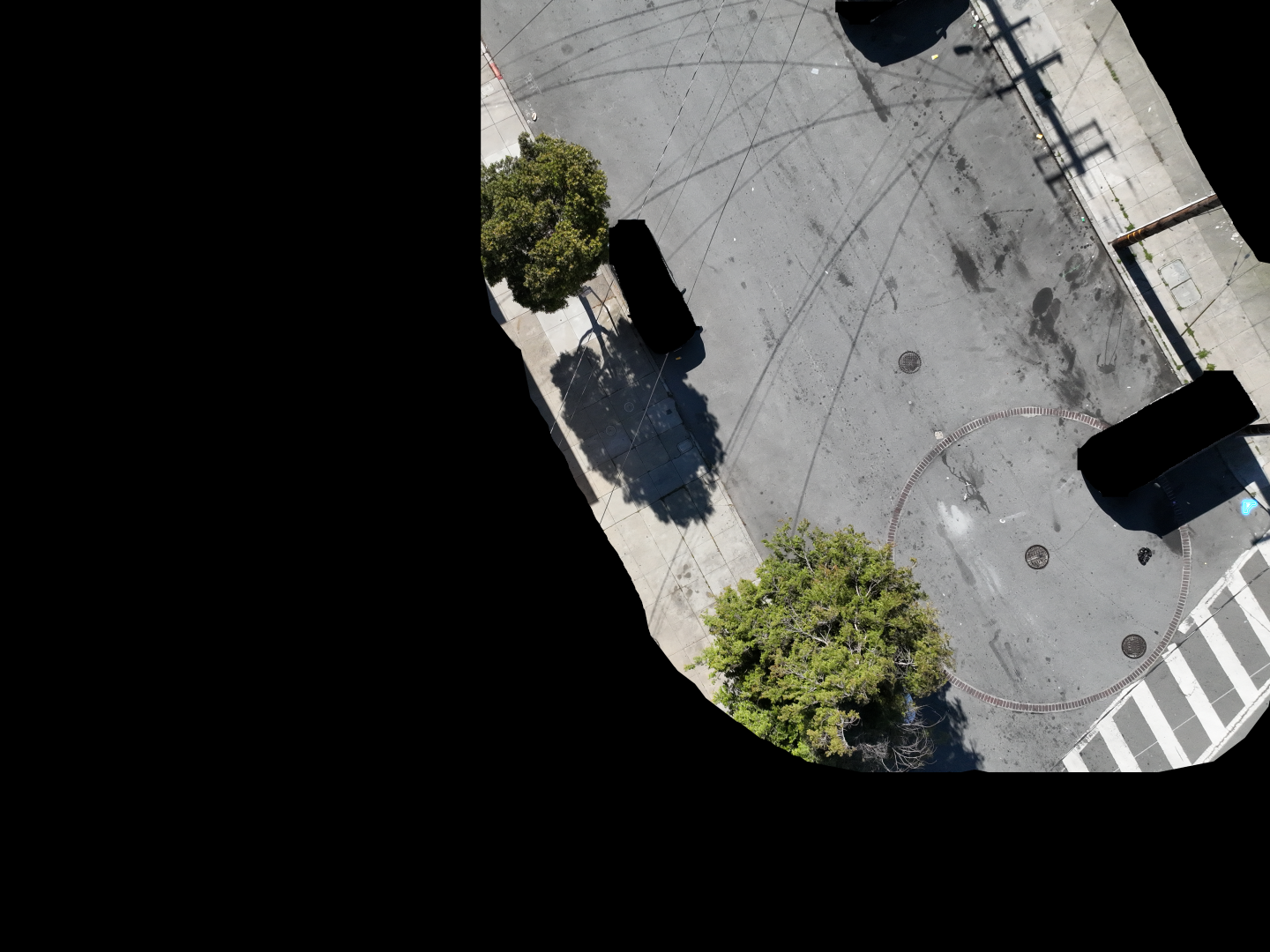
LocationPrivate residential property
StatusSite verified clean. No dumping present
Close work order with timestamped aerial photo as evidence. No field visit required.
Ground truth, square mile by square mile. Aerbits software automatically matches aerial photos to open work orders across every neighborhood, providing definitive photo evidence to close every stale report. No field visits, no guesswork. Just proof of what's actually there right now.
Before we generate a single new detection, our system scans every open work order in the survey area. Aerial photos provide current condition evidence for each one. Sites already cleaned get closed with proof. Active sites get updated images.
Not every complaint is accurate, and not every cleaned site has a closed ticket. Aerial verification identifies both: false reports get closed with confidence, completed cleanups get documented. Crews stop wasting trips checking stale information.
Stop sending crews to verify old reports. Daily aerial coverage provides the evidence you need without dispatching trucks or inspectors. The same crews spend their time cleaning, not checking.
Once the existing queue is validated, we work with crews to identify unreported dumping. Not all at once. Collaboratively, at the pace that makes sense for the people doing the work. Their ground knowledge plus aerial ground truth.
Pipeline
Detect. Correlate. Update. No new work orders. Just current condition ground truth for every existing ticket.
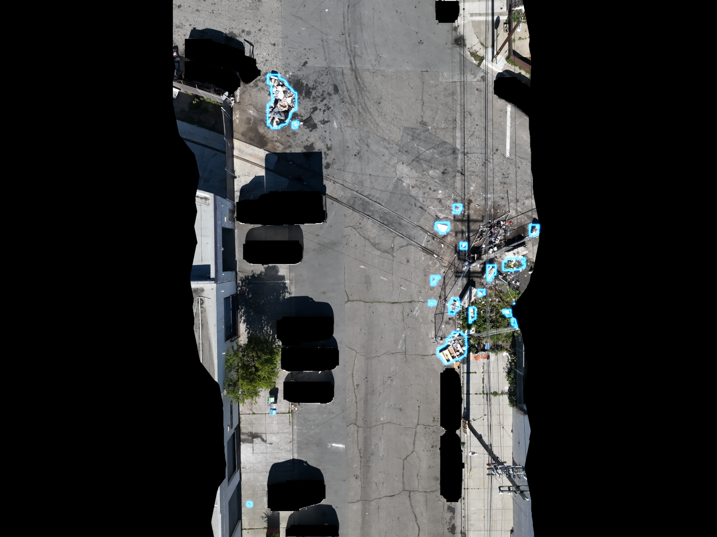
Computer vision scans aerial photos and identifies illegal dumping with 94%+ confidence. GPS coordinates, size estimates, and classifications are automatically generated for every detection: from small litter clusters to large bulk waste piles.
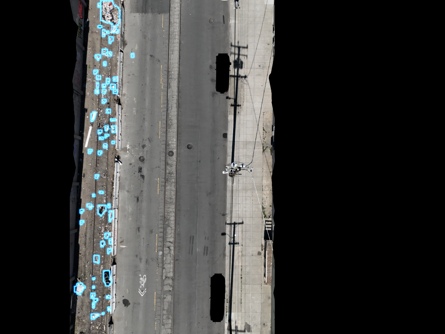
Software automatically matches GPS coordinates from detections to open work order locations. It identifies which sites are clean, which have active dumping, and which are unreported, all from a single systematic survey pass.
Each work order receives timestamped aerial photos as evidence. Clean sites are automatically closed with proof. Active sites get updated images. Unreported sites are flagged for crew consultation. No new tickets without context.
Outcomes
Stop guessing which work orders are real. Start deploying crews based on current condition ground truth.
Close stale work orders with photo proof that sites have been cleaned or were false reports. Aerial verification provides definitive evidence for every open ticket. Clear 1,000+ backlogged tickets in days, not months.
Aerbits handles the before and after documentation so crews don't have to. No more dispatching trucks to check if sites are still active. Automated daily flights handle verification. Your team just gets cleanup lists with photo evidence.
30 to 50% of dumpsites never get reported. But before we look for what's missing, we validate what's already in the queue. Once the existing picture is accurate, we work with crews, not around them, to fill in the gaps.
Know the actual status of every work order, every day. No more working from weeks old reports or unverified complaints. Current conditions, timestamped photos, GPS coordinates: the complete picture updated daily.
This technology has been deployed and validated in the field. In the Bayview-Hunters Point neighborhood, one of San Francisco's most impacted areas, daily aerial detection and reporting transformed the landscape. The same approach now scales to citywide deployment in Oakland, covering every neighborhood.
Key InsightContinuous reporting steadily decreases the amount of waste on the streets and sidewalks.
Contact
Let's discuss how aerial detection can transform your city's approach to illegal dumping.